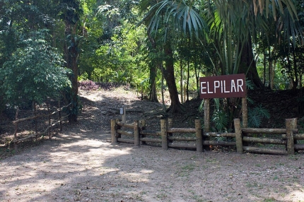
El Pilar is unique in that it is a system linked together east and west, thereby uniting one ancient Maya center in two modern nations: Guatemala and Belize. El Pilar is not merely a pyramid or a site. It is a whole region used by a community, and its size and composition suggest that it was directly related to farmland. The area was first mapped in 1983 by archaeologist Anabel Ford while studying settlement patterns in the region. Ten years later, a more in-depth study and examination of El Pilar began with state-of-the-art engineering survey instruments and excavations detailing access ways, stairs, and doorways.
